Six Years of Students’ Research
Six Years of Students’ Research on Sustainable Solutions for Tropical Agriculture in Costa Rica
Agriculture is a main driver of habitat destruction and biodiversity loss in the tropics. Land use change and agriculture are estimated to contribute about one third to global greenhouse gas emissions (GHG). On the other hand, agroecosystems offer an enormous GHG mitigation potential that we are just beginning to understand and put to work. It is also evident that successful conservation of tropical biodiversity needs to integrate rural livelihoods and human-modified landscapes. Protected areas alone are not enough. Agroforestry is one strategy to reconcile agricultural productivity with greenhouse gas mitigation and conservation goals.
")
An ongoing research project at the SFS Center for Sustainable Development Studies has been quantifying ecosystem services (mainly carbon storage and tree diversity conservation) in Costa Rican agroforestry systems for six years in cooperation with local authorities, farmer cooperatives, and land owners. Over the years approximately 100 students have collaborated with this project, working hard out there on shade-grown coffee farms, forest fragments, and silvo-pastoral systems (pastures with trees).
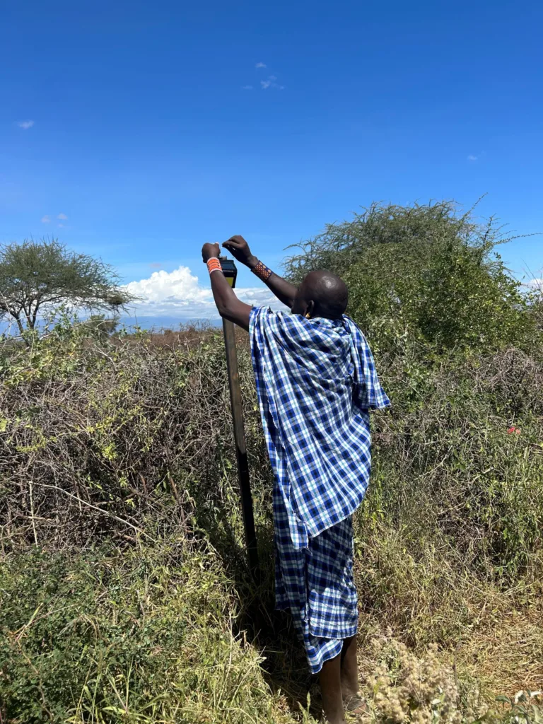
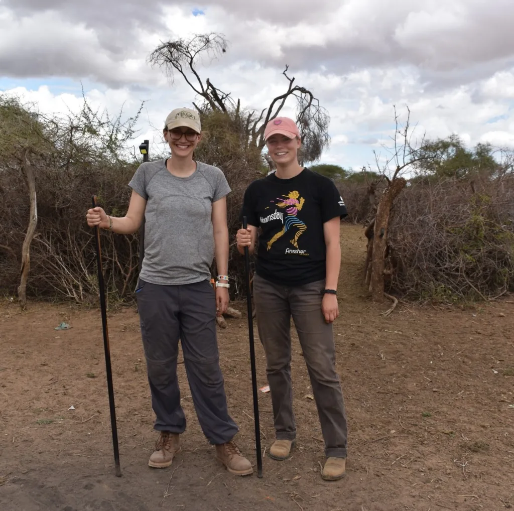
Fieldwork is definitely physically demanding, but I think also very rewarding, as it offers the opportunity to learn an array of research techniques, ranging from interviews with local coffee farmers to soil sampling for carbon estimations. Students learn mapping and establishing transects in the field using GPS and GIS, measuring and identifying trees and how to manage and analyze large amounts of data.
")
")
I am grateful for all the hard work done by our students over the past years. The growing database from this project helps us to propose alternative agricultural practices for tropical landscapes, at a time when it becomes increasingly obvious that business as usual is not a viable option anymore.
Photo Credit: Julie Curtis
Related Posts
Alumni Reflections: Stories of the Return to Kenya