Use of GIS Software for Research and Education
During the last years an unprecedented amount of powerful, free software tools and data have become available for the analysis and visualization of geospatial information. Examples include free and open source software such as QGIS and GRASS which are used and further developed by a rapidly growing community of users. In 2008, Landsat satellite imagery at a resolution of 30m was made freely available to the public. Tens of millions of scenes have been downloaded since then all over the world and put to work for agriculture, forestry, conservation, disaster risk management, to name just a few applications. The tools and data we have at our fingertips for free today open possibilities that were hard to imagine perhaps only 10 years ago.
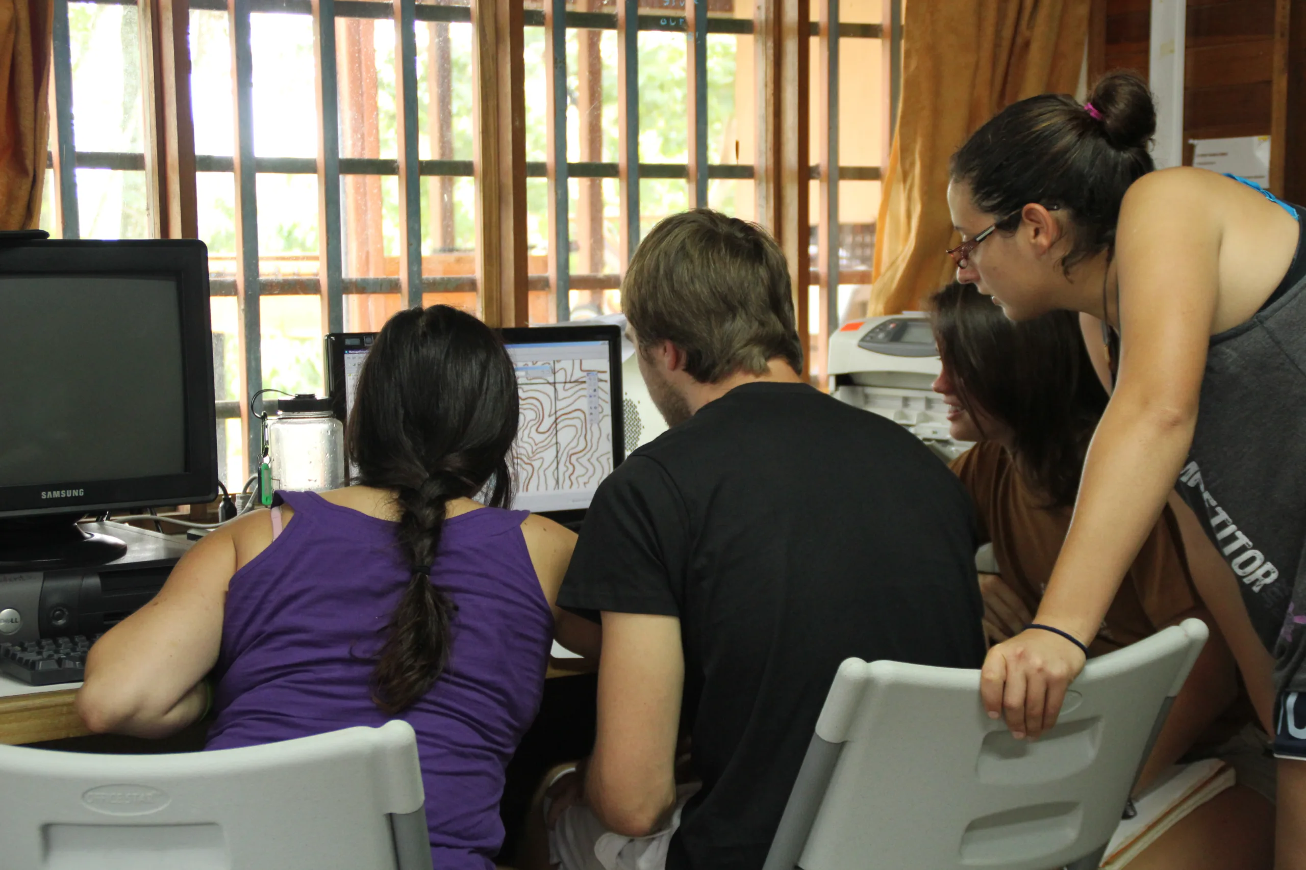
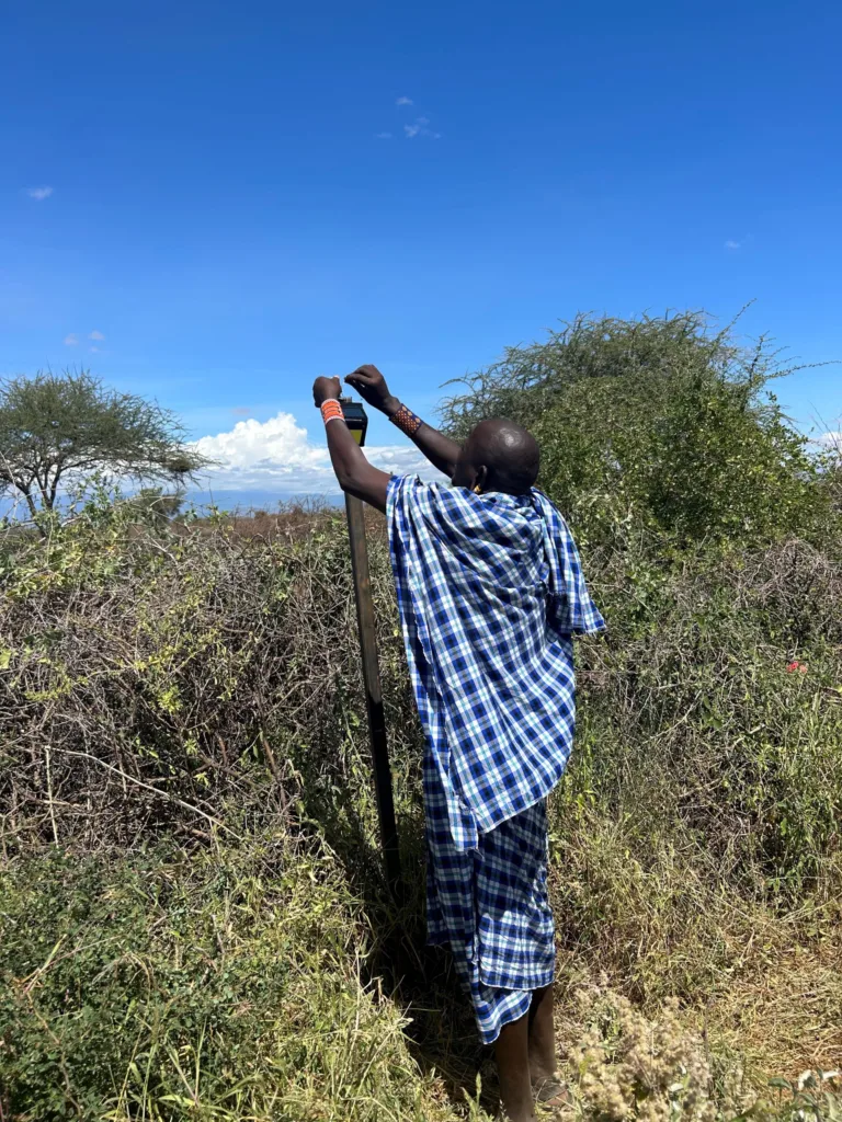
At the SFS Center for Sustainable Development Studies (CSDS), the application of GIS (geographical information systems) is an integral part of research and education. Students learn how to collect spatial data in the field and how to map, process, and analyze geospatial information. A local land-use database for the Western Central Valley was created in cooperation with Lyndon State College, Vermont, between 2008 and 2011 and has been extensively used for research purposes. We are now going to increasingly incorporate free GIS tools into research and education.
These new tools represent an opportunity to expand the scope of research at SFS CSDS. They facilitate fast and rigorous analysis of land-use change impacts on ecosystem services. Existing field data on tree diversity and carbon storage from terrestrial plots can be integrated with remote sensing imagery to assess ecosystem services on a larger spatial and temporal scale (e.g. estimates of historical and present amounts of carbon storage and tree diversity in rapidly changing landscapes). In addition, potential impacts of different future land-use change options can be modeled and valuated. The availability of free GIS software will undoubtedly enhance education at the Center. Instead of working on a temporary project, students can use data and software after the program to advance the skills that they have acquired at SFS.
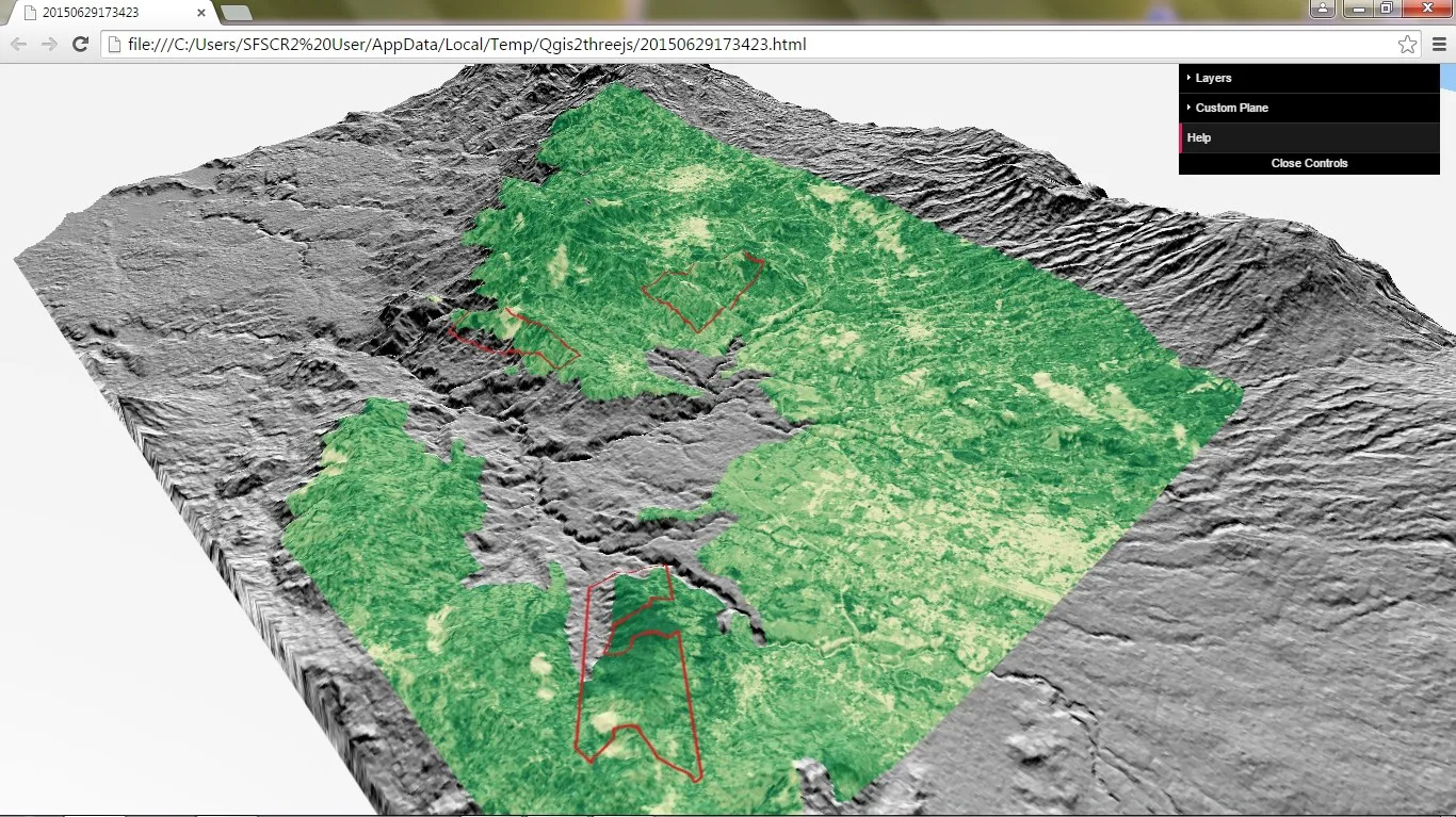
Visualization of the study area, located in the Western Central Valley, showing terrain, normalized difference vegetation index (NDVI), and protected areas. The information was derived using free software (QGIS) and free data sources (USGS digital elevation model and Landsat 8 imagery).
Related Posts
Alumni Reflections: Stories of the Return to Kenya