‘Tis the Season: The First Weeks of Directed Research in Australia
Quiet settles over the Centre for Rainforest Studies as I sip my morning tea. However, this moment of peace stands in complete contrast to the active morning that preceded it. The morning saw our student group frantically gathering research materials, printing datasheets, and gulping down a speedy breakfast. Soon after, they tumbled into the Centre’s passenger vans and raced off in different directions to collect field data for their Directed Research (DR) projects. This high energy, fast-paced rhythm is a hallmark of the DR process.
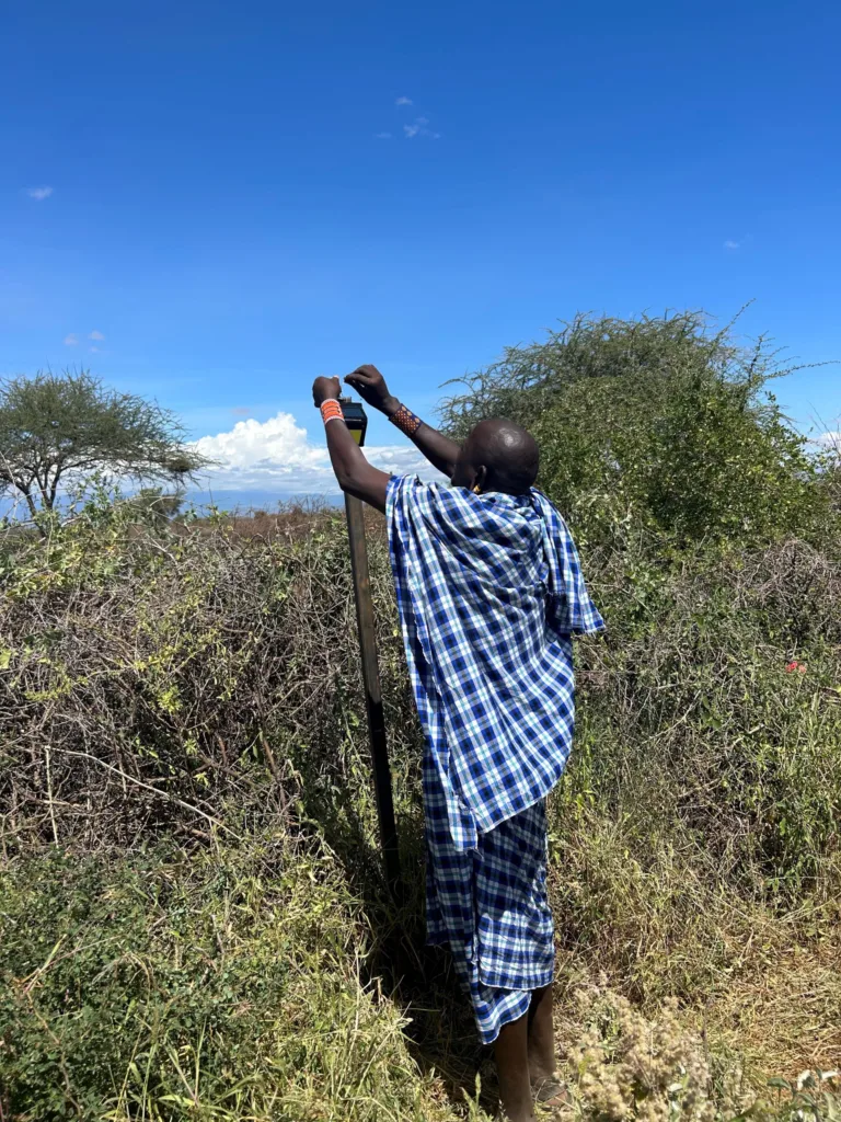
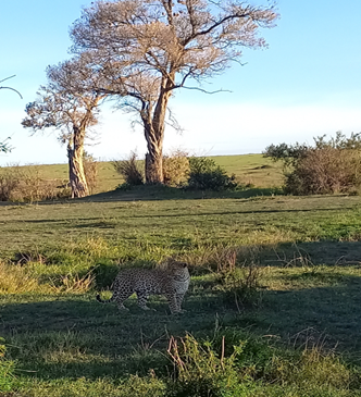
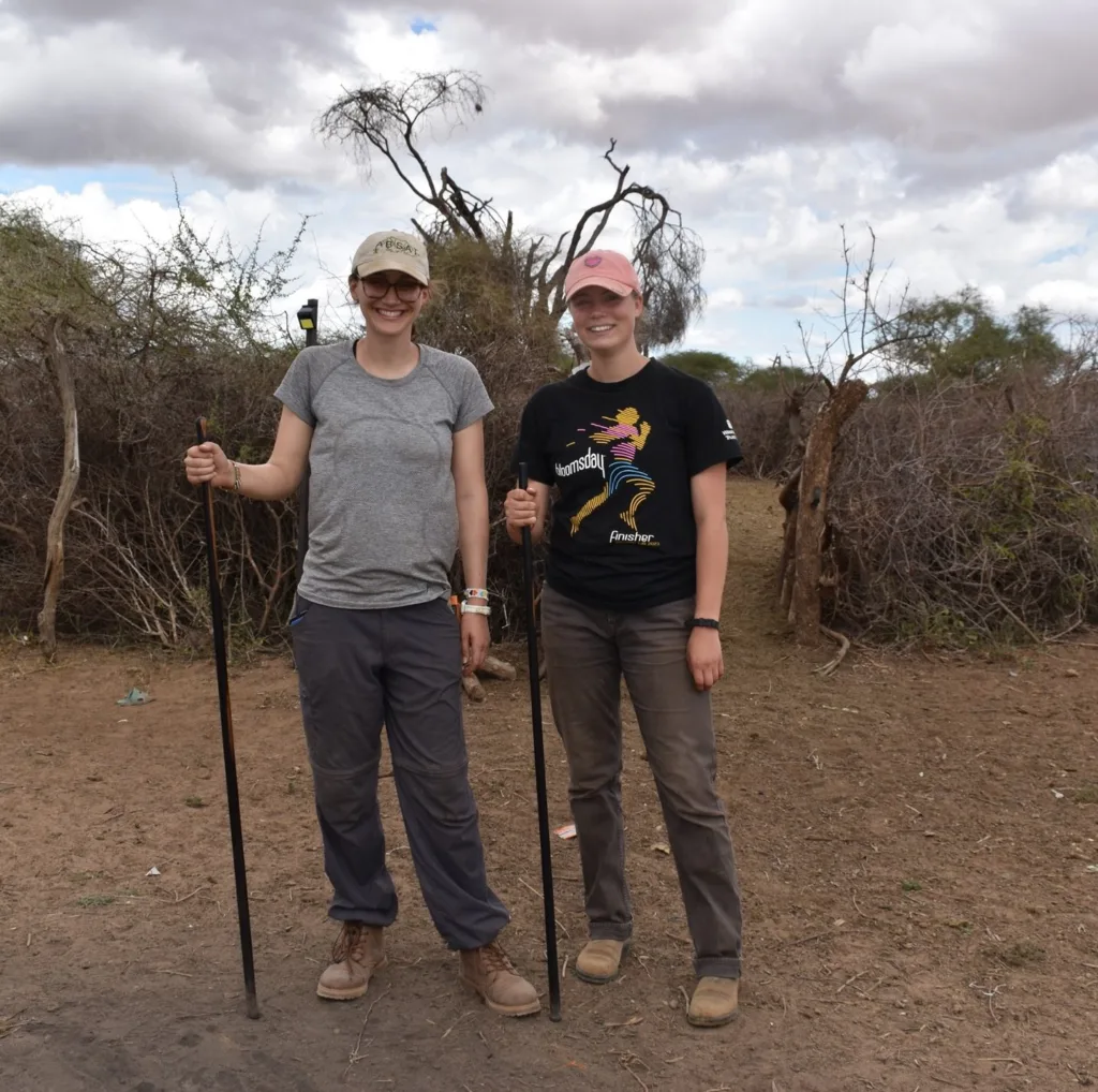
For some, the morning’s travel took them to one of many indigenous tourism operations in North Queensland. Here, the students conducted interviews to learn more about the people who visit these operations, uncovering information on the visitors’ demographics and perceptions following their indigenous cultural experience. Meanwhile, another group of students ventured into the heart of the forest to learn more about the fascinating progression of rainforest succession. They waded through a sea of spiny plants to collect data on tree size, density, and woody debris to make comparisons across the different sites they’re studying. A third group of students, led by Rainforest Ecology Professor, Sigrid Heise-Pavlov and the group I worked with most closely, explored re-vegetated areas on the Atherton Tablelands. They surveyed these areas for Lumholtz’s Tree Kangaroo (LTK) to determine how LTK colonize and utilize a fragmented landscape of rainforest regrowth.
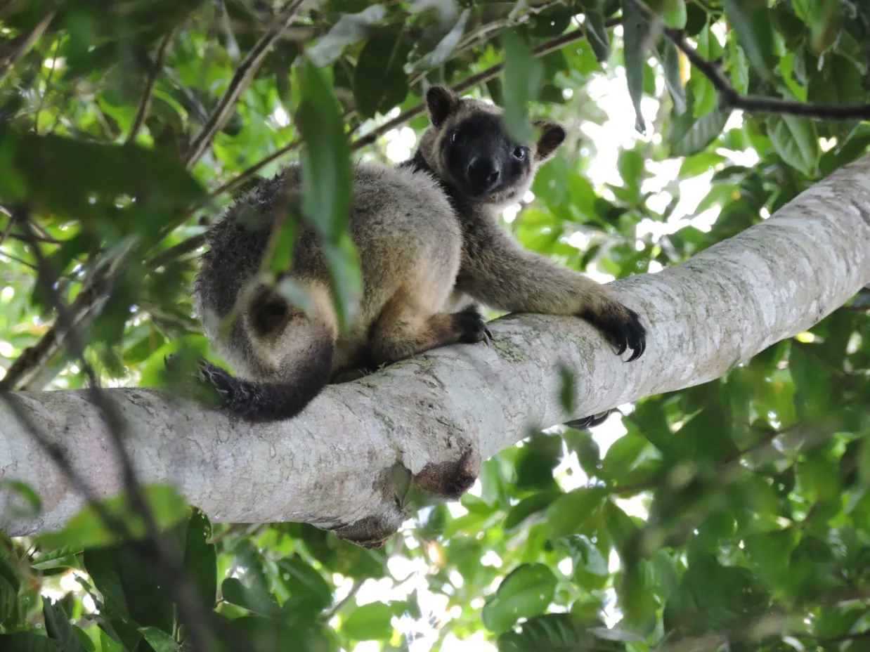
Photo by Alex Elnadouri
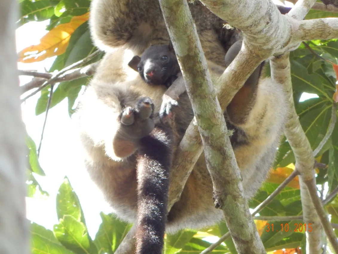
Photo by Simon Burchill
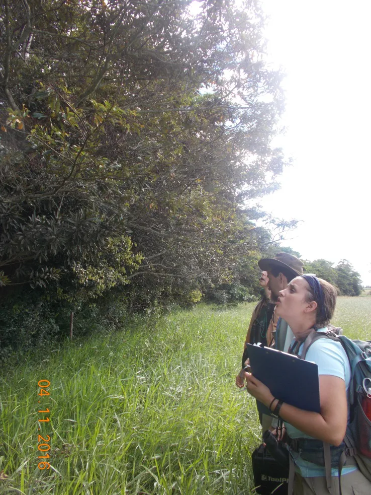
Photo by Samantha Banks
So you may be wondering: what on Earth am I doing sitting around sipping tea when there are so many exciting things going on in the field? Next to my mug of tea, a computer hums softly as it runs an analysis in ArcGIS, a powerful software used to create maps and run spatial statistics. This program is pervasive in ecological research—it is used by universities, private companies, and governmental organizations as it provides an effective way to display, store, and analyze spatial information on species of interest. Several students I’ve been working with have been learning to navigate the software, tackling important questions related to LTK and other fauna on the Atherton Tablelands. Some of their projects involve collating a centralized map of all re-vegetated areas on the Atherton Tablelands and characterizing the landscape between patches of suitable habitat and describing how LTK move through it. Other projects have focused on mapping LTK home ranges and examining microhabitat characteristics in the Peterson Creek Wildlife Corridor, a key area of rainforest regrowth with an established LTK presence.
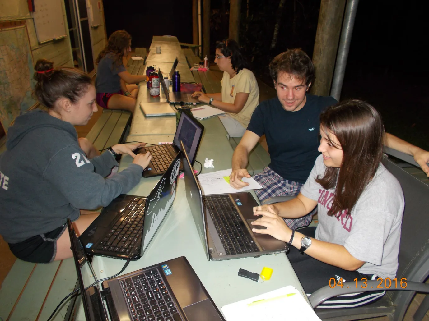
Photo by Kelsey O’Donnell
I would characterize the DR process as incredibly rigorous but equally rewarding, and I’ve already seen hints of this truth in this semester’s students. For instance, some of the students have found themselves in “The GIS Valley of Despair,” the state in which the software misbehaves and the tactical art of troubleshooting begins. While these moments can be incredibly frustrating, it’s gratifying to see students overcome these hurdles and others. Through the trials and tribulations of DRs, students emerge with a deep understanding of their projects and skillsets that propel them forward in their professional lives.
Related Posts
Alumni Reflections: Stories of the Return to Kenya