Investigating Management Approaches for Coastal Resources
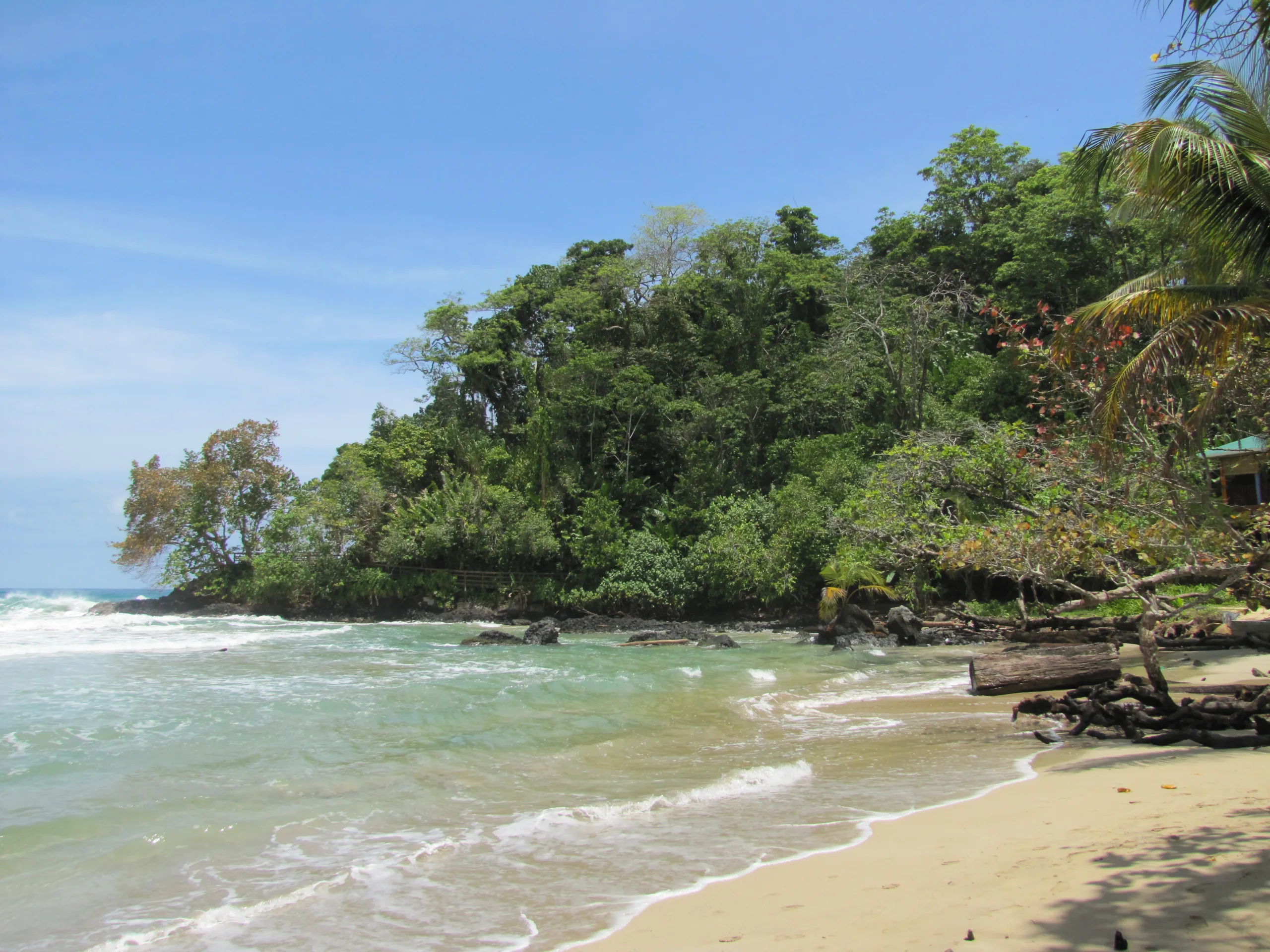
During the second half of the semester, we will be investigating management approaches to maintain or improve the status of marine and coastal resources in Bocas del Toro. To this end, the students have been given an assignment to re-zone the Bastimentos Island National Marine Park. This marine protected area covers some of the most intact examples of coral reefs in Bocas del Toro, and has a much healthier assemblage of fishes and invertebrates residing in the no-take zone. However, the park does not incorporate much of the marine-land interface and does not really facilitate great connectivity between adjacent habitats.

We gave the students several of layers in GoogleEarth showing the land, reefs, mangrove, and seagrasses, as well as human activities such as fishing, SCUBA diving, areas of anchorage, etc. We also gave them a set of objectives that their zoning plans should achieve: protect 30-50% of the marine environment from land up to 100m depth in no-take zones, facilitate local indigenous extraction of resources, maximize biodiversity conservation, use at least four different zones with different activities restricted/allowed, etc.
We chose GoogleEarth as the platform for this project as it is more accessible to students unfamiliar with GIS than other programs and it’s easy to share the results at the end. However, one group of high-achievers immediately imported all the layers into ArcGIS and got down to work. We are really looking forward to seeing what solutions the students come up with to balance biodiversity conservation with stakeholders’ needs.
Related Posts

Cinder Cone Chronicles: Lessons from Drought, Data, and Determination

